About Us
Terran Geospatial is a full-service GIS company – implementing mobile, desktop, server, and cloud solutions for our clients. With customers in the federal and commercial sectors, we actively are supporting the implementation and development of the full spectrum of GIS capabilities.
We have ongoing projects building native mapping applications on iOS and Android, as well as custom browser-based map viewers using the ArcGIS API for JavaScript. These applications are fed GIS data utilizing ArcGIS Enterprise, ArcGIS Server, and Portal for ArcGIS, at a hosted data center meeting NIST and DFARS cybersecurity compliance. Additionally, we build applications leveraging ArcGIS Online and utilize a mixture of Esri, other vendors, and open source technologies such as QGIS and GDAL.
On the desktop side, we aim to make the daily workload of our clients as efficient as possible. We take a ground-up look at their processes and automate their workflows using Python development, to free them up to help grow their business and accomplish new projects.
Areas of Focus
- General GIS consulting and professional services
- DOD IGI&S professional services
- iOS and Android application development
- JavaScript Web Viewer Development for Esri, Mapbox, Leaflet, and Carto
- Cloud GIS implementations using ArcGIS Online, Mapbox, and more
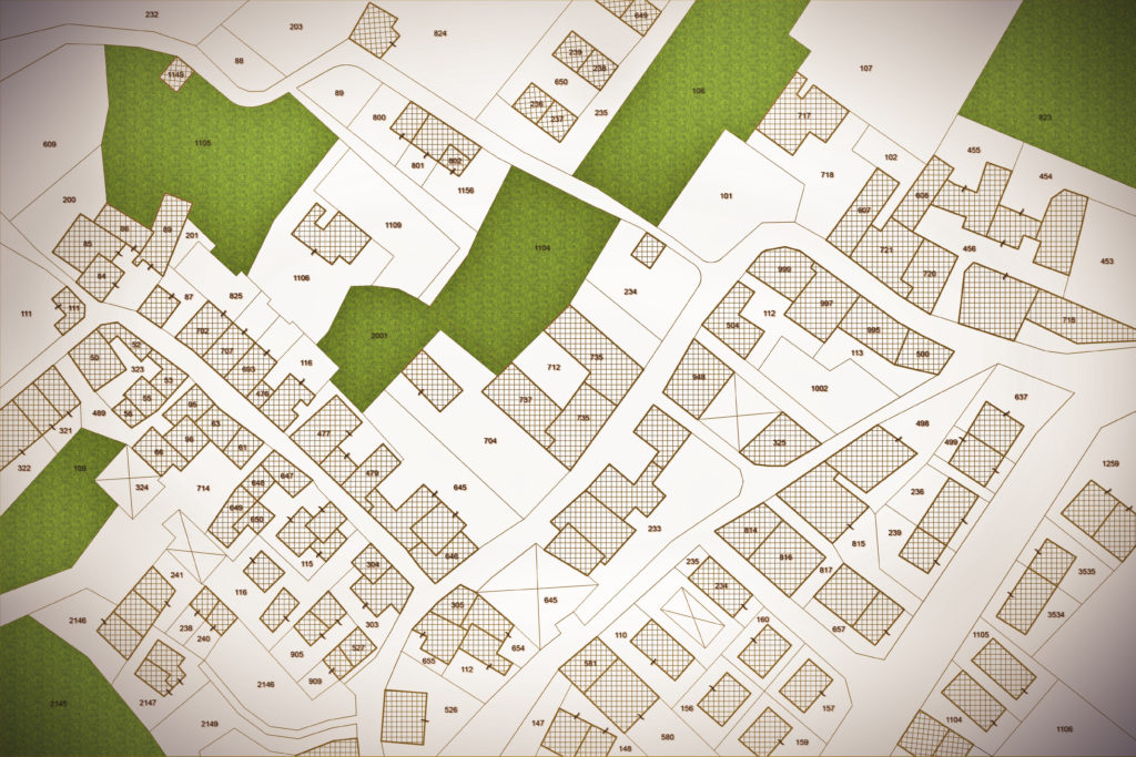
- Municipal GIS services for addressing, redistricting, and cadastral
- Enterprise GIS implementation on SQL Server, Oracle, and PostgreSQL
- Enhanced GIS data quality control with ArcGIS Data Reviewer
- Planimetric data development and feature extraction
- Real property reconciliation for DOD Installations
- Real estate summary map development
- Maritime GIS data and map development
Bringing Expertise in GIS with Commercial-Off-The-Shelf and Open Source Approaches
We know that every client is different – some want solutions using tried and trusted vendor approach with Esri, while some want open-source, some want other vendors, and some want a blend. Our philosophy is to focus on the customer’s needs, find the best solution for their needs, and provide it.
Former Esri staff, Esri-certified in geodatabase administration, with over 20 years of experience for federal, municipal, and commercial clients.
Experience in industries include Federal, Department of Defense, Intel, Commerce, Oil & Gas, large municipal, small municipal, publishing, & natural resource management.
Technologies include: Esri, Open-Source GIS, Mapbox, Carto, QGIS, Python, SQL, MS SQL Server, Oracle, Cloud, Web GIS, JavaScript, Python, .NET, Esri SDKs, & more.


